It is based on computers that allow the integration of data.
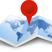
SIG: Model of a part of the reality referred to a system of terrestrial coordinates and constructed to satisfy some concrete information needs


It is based on computers that allow the manipulation of data.
Connect maps with databases
Geocoding generates information for decision making
Each record or digital object has an identified position.

Facilitates the visualization of a map in order to reflect geographical phenomena of any type